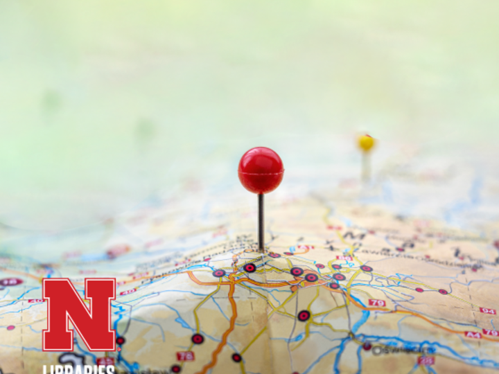
A Geographic Information System (GIS) uses digital hardware and software to collect, manage, analyze, and display information about specific locations.
- Gives us a way to understand our world in a visual geospatial format.
- Can be used to analyze social data such as crime patterns and population demographics.
- Helpful in analyzing physical features such as watershed and soil characteristics for biological studies, agricultural interests, and environmental issues.
- Can be used for city and regional planning and for emergency response development.
Software
GIS map competition
GIS Day & Map Competition
Event and Map Competition
Each year, the University of Nebraska–Lincoln Libraries celebrates GIS Day with engaging events and a dynamic map competition. It’s an opportunity for GIS enthusiasts and curious researchers to discover how Geographic Information Systems (GIS) drive innovation in research, creativity, and storytelling.
Explore past events and view map competition submissions at:
https://unl.libguides.com/unlgisday